Geographic Information Systems (GIS) is a powerful tool that allows us to visualize, analyze, and understand spatial data.
It’s used in a wide variety of fields, from environmental science and urban planning to business and healthcare.
By learning GIS, you can gain valuable skills that are in high demand and open up exciting career opportunities.
Finding the right GIS course on Coursera can be overwhelming, as there are so many different options to choose from.
You want a course that’s comprehensive, engaging, and taught by experts, but also fits your learning style and career goals.
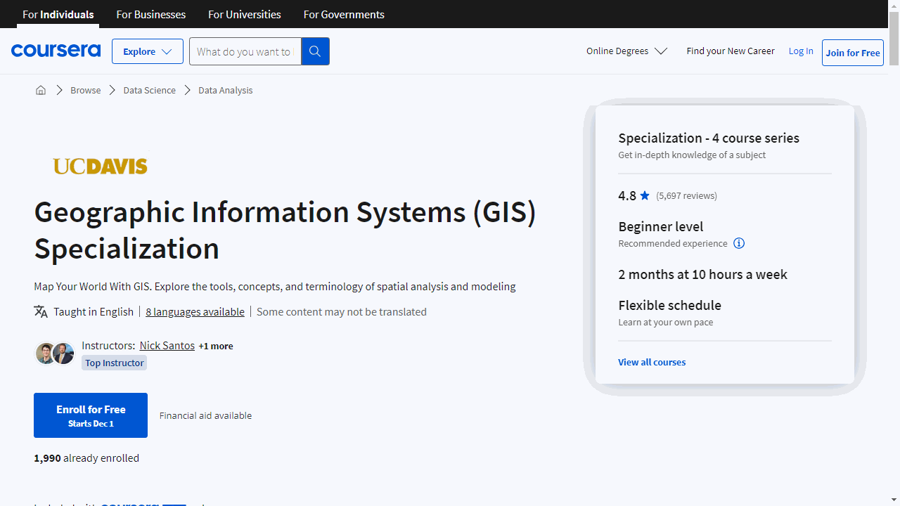
For the best GIS course overall on Coursera, we recommend Geographic Information Systems (GIS) Specialization offered by UC Davis.
This specialization is a comprehensive and practical introduction to GIS, covering everything from the fundamentals of ArcGIS to advanced geospatial analysis techniques.
It’s a great choice for beginners and experienced learners alike.
This is just one of many great GIS courses available on Coursera.
Keep reading to explore our recommendations for different learning styles and goals, as well as courses focused on specific GIS tools and applications.
Geographic Information Systems (GIS) Specialization
This specialization by UC Davis is a practical, skill-building journey through the world of spatial analysis and cartography with industry-standard tools.
Start with “Fundamentals of GIS,” where you’ll grasp the essentials of ArcGIS.
In just four weeks, you’ll progress from understanding GIS’s evolution to creating and sharing your own maps.
You’ll also get a one-year ArcGIS license, enabling you to practice without extra costs.
Then, “GIS Data Formats, Design and Quality” takes you deeper.
You’ll tackle data types like vector and raster, learn about data storage options, and even publish web maps.
This course ensures you’re not just collecting data but also choosing the best ways to store and present it.
“Geospatial Analysis with ArcGIS” is where your skills become more nuanced.
Here, you’ll engage in a project from conception to analysis, working with 3D data, rasters, and more.
It’s hands-on learning that culminates in powerful data storytelling.
Lastly, “GIS Applications Across Industries” reveals GIS’s versatility.
You’ll explore its applications in various sectors, from environmental studies to business development, and use advanced ArcGIS Pro tools to solve industry-specific problems.
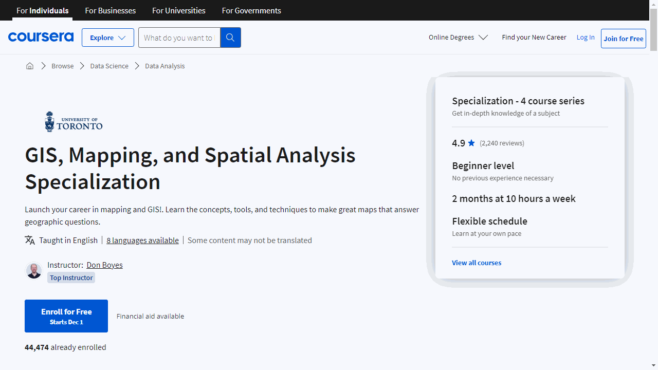
GIS, Mapping, and Spatial Analysis Specialization
This specialization, offered by the University of Toronto, is a step-by-step guide to mastering geographic information systems, tailored for beginners.
Start with “Introduction to GIS Mapping,” where you’ll learn the basics of GIS, map real-world features, and work with coordinates.
You’ll create GIS data by tracing satellite images, laying a solid foundation for your GIS journey.
All you need is a Windows computer with ArcGIS Desktop.
In “GIS Data Acquisition and Map Design,” you’ll discover how to source GIS data and craft maps that convey your message.
You’ll delve into GIS file types, metadata, and data preparation, including geocoding.
By the end, you’ll be equipped to design a map that’s both informative and visually appealing.
“Spatial Analysis and Satellite Imagery in a GIS” takes your skills further.
You’ll learn to filter data sets, analyze spatial relationships using vector data, and harness ModelBuilder for analysis flowcharts.
Satellite imagery analysis is also covered, culminating in a project where you apply your new skills.
The “GIS, Mapping, and Spatial Analysis Capstone” is where everything comes together.
You’ll plan and execute a GIS project, analyze data, and create maps.
Your final product will be an Esri story map, a professional web presentation of your work.
While you’ll need to provide your own ArcGIS software, the specialization equips you with valuable skills in spatial analysis, mapping, and cartography.
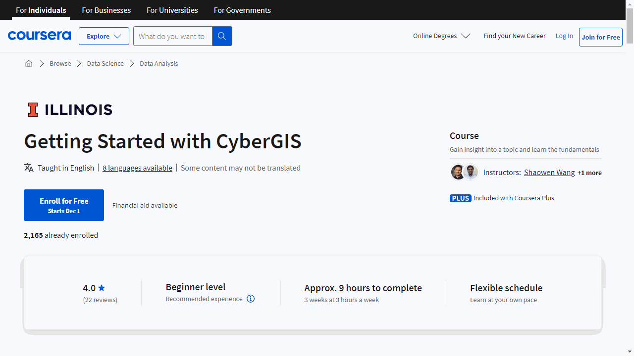
Getting Started with CyberGIS
This course is a practical guide through the evolving landscape of Geographic Information Science, with a spotlight on CyberGIS – where high-performance computing meets geospatial data.
You’ll begin by navigating the essentials of CyberGIS, learning to manage geospatial big data and delve into data science techniques.
The course is neatly divided into four modules, each with targeted readings and resources.
In the first module, you’ll master data visualization in Python with tools like Matplotlib, Cartopy, and Basemap, and bring maps to life online using Mplleaflet and Folium.
These skills are crucial for presenting complex data in accessible ways.
Module 2 sharpens your technical prowess with vector and raster data manipulation using Shapely and Raster.io, respectively.
You’ll also get hands-on experience with Hadoop, exploring its distributed file system and the MapReduce paradigm, essential for processing large-scale data sets.
The third module takes you deeper, linking theory with practice through case studies.
This real-world application cements your understanding and prepares you for future trends in the field.
Finally, Module 4 helps you chart your post-course path, whether that’s further education, career advancement, or personal exploration in CyberGIS.
By the end of this course, you’ll have a solid foundation in CyberGIS, equipped with both the theoretical background and practical skills to navigate and leverage this technology.
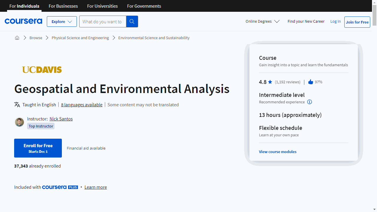
Geospatial and Environmental Analysis
This course by UC Davis is packed with essential tools and hands-on experience that will elevate your GIS game.
Starting with Module 1, you’ll get to grips with the Clip Tool, which lets you slice data precisely, and the Erase and Identity Tools for fine-tuning your datasets.
The Buffer tools will become your go-to for environmental and urban planning projects, while the Near tools will help you analyze proximity with ease.
You’ll also tackle the Merge and Dissolve Tools, crucial for combining datasets and simplifying complex data.
Plus, you’ll learn to visualize your findings with charts and graphs in ArcMap, a skill that makes data digestible for any audience.
Data acquisition won’t be a mystery anymore, as you’ll learn to source and organize crop data effectively.
The course includes discussions and assignments that reinforce your data management skills, ensuring you’re well-prepared for real-world scenarios.
In Module 2, raster data takes center stage.
You’ll explore formats, display options, and comparison tools like Swipe.
You’ll also master resampling, reprojecting rasters, and creating 3D scenes, giving you the ability to manipulate data in multiple dimensions.
Module 3 demystifies projections and coordinate systems, teaching you to choose the right ones to maintain data integrity.
You’ll delve into datums, geographic coordinate systems, and environment variables, all of which are foundational for accurate geospatial analysis.
Finally, Module 4 focuses on visualization.
You’ll learn to use color ramps and data classification to make your maps both informative and visually appealing.
The course culminates in a comprehensive project that tests all the skills you’ve learned, ensuring you’re ready to tackle any GIS challenge.
With a final assignment and extra practice options like Maplex Labeling, this course doesn’t just teach you GIS—it prepares you to apply your skills confidently in the field.
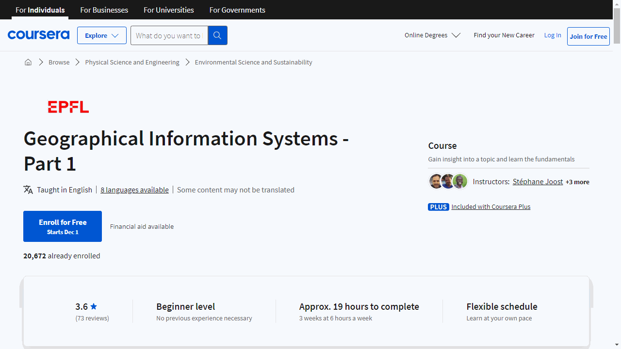
Geographical Information Systems - Part 1
This course is a comprehensive introduction to the world of GIS, tailored to give you a solid foundation in the field.
You’ll begin with territorial modeling, a crucial skill for visualizing and understanding the interactions within geographical areas.
It’s essential for grasping the bigger picture in GIS.
The section on coordinates and projection systems demystifies how we represent the Earth’s surface on maps.
This knowledge is fundamental for anyone looking to work with spatial data accurately.
An introduction to QGIS equips you with the skills to use this robust, open-source software, setting you up for practical application in the GIS realm.
Understanding spatial relationships and topology is next, where you’ll learn about the connectivity of different locations.
It’s akin to mapping the network of geography.
The course also covers vectors and rasters, the essential elements of digital mapping, ensuring you’re well-versed in the core components of GIS.
Metadata, the data about your data, is explained in a way that highlights its importance for organization and clarity in your projects.
You’ll delve into primary data acquisition, a critical step in creating accurate and informative maps, and explore real-world applications through engaging case studies, such as participatory planning and biodiversity projects.
Skills like georeferencing imagery and digitizing vector objects are taught, allowing you to integrate historical data with modern mapping techniques.
The course also tackles the organization and storage of geographic information, including the use of relational and NoSQL databases, and introduces you to SQL language and queries.
You’ll learn to extract meaningful insights from your data, using both geometrical and topological spatial queries.
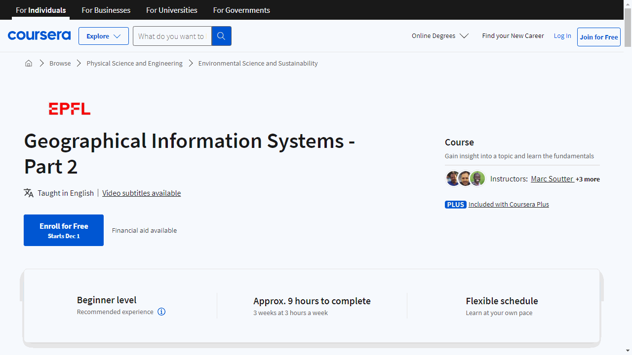
Geographical Information Systems - Part 2
This course is a continuation of “Geographical Information Systems - Part 1,” taking you deeper into the world of GIS.
You’ll dive into Geoda, an essential tool for spatial data analysis, learning to navigate its features with ease.
The course then guides you through discrete variables, teaching you to interpret geometric properties and spatial arrangements like a seasoned cartographer.
You’ll uncover the relationships between data points using autocorrelation and spatial dependence, employing tools such as Moran’s I to reveal hidden patterns.
Interpolation techniques are covered extensively, enabling you to confidently estimate unknown values.
You’ll apply these skills in a case study, analyzing pollution levels in the Ebrié lagoon, demonstrating the real-world impact of your GIS prowess.
You’ll delve into the intricacies of derived variables and the interplay between raster and vector data, essential for nuanced spatial analysis.
A hands-on case study on flood risk in Niamey will challenge you to apply your skills in a critical, life-saving context.
Map aesthetics aren’t overlooked, with lessons on visual variables and thematic attributes that teach you to craft maps that are both informative and visually compelling.
The course also embraces the digital age with dynamic and interactive web-based mapping, preparing you to create engaging online map experiences.
Adding a new dimension to your skillset, you’ll explore 3D mapping, which brings depth and realism to your spatial analyses.
And looking ahead, the course touches on the exciting potential of integrating GIS with augmented reality, hinting at the future of immersive mapping technologies.
Also check our posts on:
